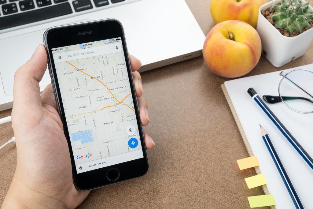
You rely heavily on the navigation app on your phone or in your car to take you places. You have this vague understanding that signals are sent from your device way past the stratosphere and into space. Those signals are captured by satellites, and then a GPS simulator converts those signals traveling back and forth to consumable visual information on your popular navigation apps, like Waze. And you’re on your way to your next destination following a < href”https://www.cybergrace.com/satellites-the-stars-that-will-show-you-the-way/”>route with less traffic.
The digital technology, of course, is dependent on electricity or battery power plus an Internet connection. When these are taken out of the equation, you could get lost. Unless, of course, you know how to use a paper map. Are printed maps obsolete in this day and age of digital devices, satellites, and the Internet? If you find yourself hiking and lost in a forest, that piece of paper might be a lifesaver.

Analog vs. Digital
Online shops are claiming more relevance than actual brick-and-mortar stores. At best, consumers want both kinds of shopping experience. For a vast majority of millennials and Gen Zers, going to a real physical library is just too cumbersome compared to just Googling stuff.
Cartography, the art of making maps, dates back to the time of the Babylonians in 2300 B.C., and the Greeks made more advancement, including the recognition by Greek Philosophers that the Earth was spherical. The medieval and renaissance periods had maps focusing on regional or local centricities. But modern maps originated from the representations depicted from the 17th to the 19th century.
Then came Google and the launching of Google Maps in 2008. And the world was never the same again.
Making the Case for Analogue Maps
Paper maps are an analog device. You don’t need to plug it, and it doesn’t require batteries or electricity. Here’s why you need to keep this paper device:
- Fewer distractions. When you’re driving and made to look at your navigation system or your phone, you’re distracted from the primary thing that you’re supposed to be doing—driving. With maps, you have to be at a full stop to use it. Remember that distracted driving is the number one cause of road accidents in America.
- A holistic view. It’s a feeling. That warm sensation you get from knowing that “…leaving this point, I will pass by this park or this church where I can make a stop, which is just X-kilometers away from my final destination.” If you’re looking at a map, you’ll get that sensation and not feel like a faceless voice is leading you.
- Accuracy. Maps now rely also on satellite images and other technology, so they are as accurate as what your digital navigation system representation would have. You won’t go wrong with a map unless you don’t know how to read one or are reading it upside down.
- Brain stimulus. Frequent use of a map stimulates your brain to the point that you can create a mental map. Maps work in tandem with the environment and your brain’s ability to make a physical and visual association, thereby creating a memory that you can access later.
This is not to say that you should remove your car’s or your phone’s navigation app. But if you find yourself lost, and in a peculiar situation where there is no power or battery, you might need a map.

