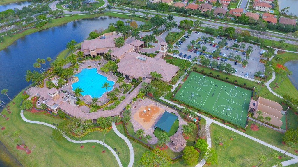
Drone use has been rapidly transforming industries across many countries for quite some time now. The U.S. Federal Aviation Authority (FAA) in a statement revealed that almost 300,000 drone owners registered with them during the first month that they opened their online registration site. Businesses and other industries such as agriculture and construction also quickly adopted this new technology owing to its versatile nature and the relaxed rules on owning and operating unmanned aerial vehicles (UAVs) – the technical term for drones.
Learn about how drone technology transforms industries and how it does its magic one flight at a time:
- Building inspections. These days, drones have been extensively used for such challenging tasks such as building inspection using a drone. This job was previously performed only by building inspectors by literally rolling up their sleeves and climbing to the top of buildings to gain a clear vantage of the surroundings. Since drones could go way above just the rooftops of buildings, inspectors enjoy a more detailed and clearer picture of their immediate environment – not just of the building their standing on and a limited view of the area around it. This allows for a more comprehensive inspection report, as well as safer and easier inspection.
- Agricultural/mining surveys. Mining and agriculture companies no longer have to pay exorbitant prices for helicopter and airplane operators for their surveying needs. With drones, they can survey their site on their own or simply hire a licensed drone operator for the job. This translates to huge savings for these companies and a more convenient means of surveying.

- GIS mapping and surveying. Geographic information system (GIS) mapping and surveying are now cheaper and more accessible, thanks to drone technology. With drones, GIS specialists can now capture detailed images of large tracts of lands with high accuracy. They can also create digital surface and elevation models, 3D images, and orthomosaics that allow them and planners to make high-quality plans and informed decisions based on information derived from such surveys. Coupled with other technologies like LIDAR and photogrammetry software, drones can elevate GIS to whole new heights (pun intended).
- Search and rescue. Helicopters or small airplanes are no longer the sole aircraft of choice for disaster responders performing challenging search and rescue missions in rough and remote terrains. Drones, with their ability to quickly launch and perform similarly like a large aircraft, are quickly becoming the go-to means of looking for survivors trapped in ice or remote mountains. Since they can remotely feed live images and videos, disaster responders can gain critical information on the whereabouts of the persons they’re looking for, leading to an easier and quicker rescue.
- Photography/videography. Thanks to drones, professional photographers and videographers now have the freedom to make cinematic shots as if they’re aboard an aircraft. Drones are now equipped with high-resolution cameras that allow the operator to capture images and videos with stunning clarity and quality.
- Cargo transport. Fancy a box of freshly-baked pizza or lasagna delivered to your pizza by a flying service crew? With drone technology, it’s possible. Some companies have begun using drones to deliver their goods to customers – from pizzas to small cargoes. So, don’t be surprised if that latest smartphone you’ve ordered online will come flying straight into your bedroom as you wake up one morning – hand-delivered by your cute drone delivery boy.
Truly, drone technology has created and will surely create a further huge impact on our lives for the years to come. Let’s wait for the time when other technologies will lift off the ground, thanks to future developments in drone technology.

